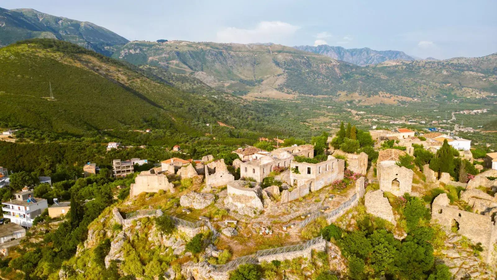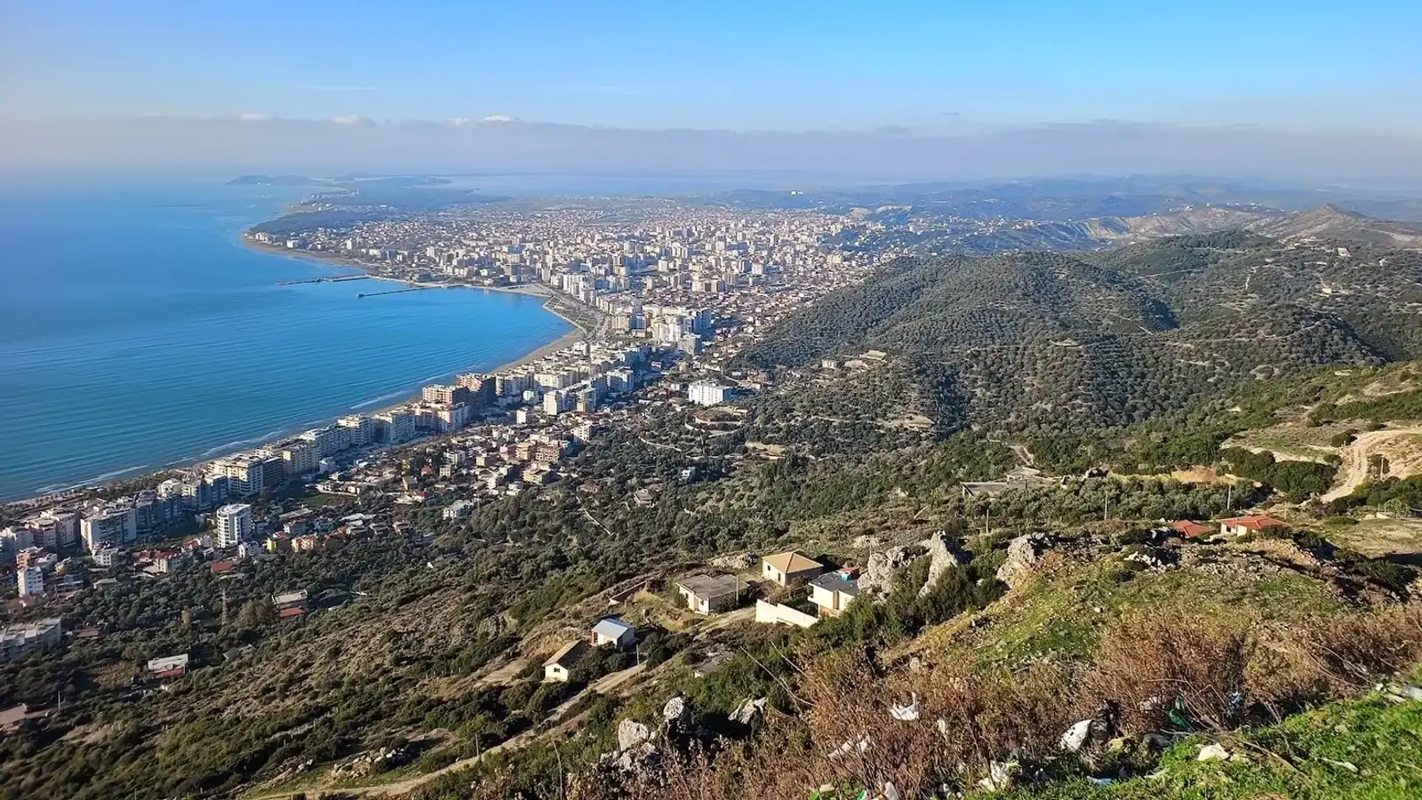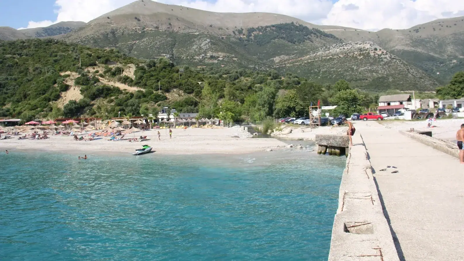
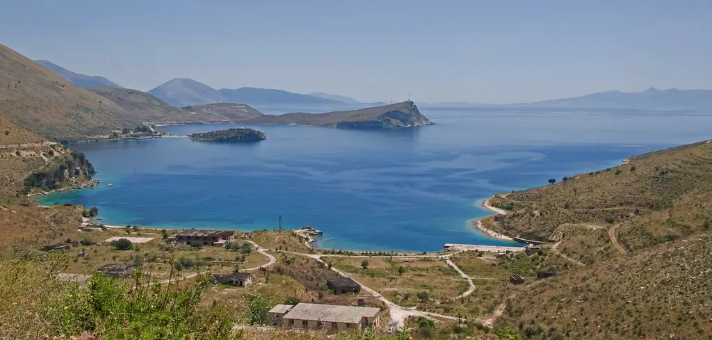
Mapping an Albanian road trip goes wrong in a specific way: the SH8 shows on a map app as one continuous coastal highway, and it is. But the useful stops on it are mostly unsigned turn-offs to beaches that sit a few hundred metres below the road, and the app will happily route you down tracks a hire car has no business on. What follows is the coast as a set of pinnable coordinates and measured legs, with the three things a map layer cannot tell you: where the asphalt narrows, where the fuel runs out, and which descents to walk instead of drive.
The SH8 leg by leg
The whole Riviera run, Vlora to Saranda, is 130 km and 2h 45m to 3h of moving time off-peak, stretching to 3h 30m–4h at August peak. Broken into the legs you actually drive:
| Leg | Road distance | Moving time | What the road is doing |
|---|---|---|---|
| Vlora → Dukat → Llogara | ~25 km | 40 min | Climbing to the 1,027 m pass, a dozen-plus hairpins, tour buses set the pace |
| Llogara → Palasë (tunnel) | 5.9 km of tunnel | ~7 min | 80 km/h limit, 24/7, 250 ALL for a car |
| Llogara → Palasë (pass) | ~15 km | ~30 min | 8–10% gradients, the tightest switchbacks on the route |
| Palasë → Dhërmi | ~4 km | 10 min | Short, developed, easy |
| Dhërmi → Himara | 16 km | ~30 min | The middle Riviera; Jale and Gjipe turn off here |
| Himara → Porto Palermo | 9 km | 18 min | Straightforward, the castle peninsula is signed |
| Himara → Borsh | ~20 km | 30–45 min | Rebuilt sections, one blind cliff cut past Porto Palermo |
| Borsh → Saranda | ~35 km | 50 min–1h 15m | Two narrow cliff-cut sections, then inland and well-surfaced |
Times come from the Riviera drive-time matrix; fares and frequencies for the same legs by bus are in the furgon guide.
Compare hotels, apartments, and Vrbo rentals on the map. Powered by Stay22.
Coordinates worth pinning before you leave
Several of these have no useful signage from the SH8 and a couple have names that map apps resolve to the wrong place. Paste the pair straight into the search box.
| Waypoint | Latitude, longitude | Why pin it |
|---|---|---|
| Palasë Beach | 40.160021, 19.580813 | First beach below the pass; Blue Flag section behind it |
| Drymades Beach | 40.1554, 19.6093 | Drive-up, beach clubs |
| Panagia Drymadon Monastery | 40.152998, 19.642769 | Hilltop above Dhërmi village, 257 m |
| Dhërmi Beach | 40.140123, 19.641984 | Main Dhërmi waterfront |
| Saint Theodore Monastery | 40.131556, 19.654791 | Ridge between Dhërmi and Gjipe; parking 200–300 ALL |
| Gjipe Beach | 40.127, 19.6704 | The beach itself. Park above, walk 30 min |
| Jale Beach | 40.1199, 19.7014 | Bottom of the switchback road past Vuno |
| Akuarium Beach | 40.1134, 19.711 | No road; 1.5 km trail from Livadhi |
| Himara Castle | 40.11771, 19.73166 | Old town on Barbaka hill, free, small free lot |
| Livadhi Beach | 40.1064, 19.7283 | Free gravel parking on the beach |
| Spile Beach | 40.1015, 19.7443 | Himara town promenade |
| Himara Mini Dock | 40.1008, 19.7438 | Boat-tour departures, roughly 08:00–19:00 |
| Potami Beach | 40.0942, 19.7547 | Paved access, beach clubs |
| Llamani Beach | 40.0803, 19.7669 | Steep paved final stretch, parking 200–300 ALL |
| Porto Palermo submarine tunnel | 40.071529, 19.768667 | Roadside pullout for the view; sealed site |
| Borsh Castle | 40.069753, 19.856094 | Hilltop ruin at 500 m, free, no gate |
| Porto Palermo Castle | 40.062216, 19.790746 | 300 ALL, lek cash only |
| Qeparo Beach | 40.052913, 19.825328 | Stone promenade, sandy seabed |
| Borsh Beach | 40.043457, 19.855848 | Turn off near the BOLV station, then 1 km down |
| Sasaj Beach | 40.011987, 19.906239 | Unsigned, undeveloped, Piqeras area |
| Buneci Beach | 40.0019, 19.893 | Quiet, drive-up |
| Lukovë Beach | 39.97485, 19.912852 | Unpaved descent, free parking |
| Lëkurësi Castle | 39.865878, 20.025774 | Switchback road above Saranda, ~10 min up |
| Manastiri Beach | 39.813262, 20.010655 | Just south of Saranda on the Ksamil road |
| Pulëbardha Beach | 39.80013, 20.000691 | See the warning below before driving in |
Where the road actually slows you down
Four places account for most of the gap between a map app's estimate and the clock.
The Llogara climb and descent. Hairpins on both sides, guardrails present on the most exposed switchbacks and absent on others, and fog that forms most mornings from April to October and usually lifts by about 11:00. The descent towards Dhërmi is the steepest section of the whole route; engine-brake it rather than riding the pedal. Tour buses queue the road for five to fifteen minutes at a stretch. The road-condition ratings score this stretch segment by segment.
The patched sections south of Porto Palermo. Three stretches of roughly 200 m were resurfaced in March 2026 and left without a centreline. They look like open two-lane road and function like single-track. Drive them as single-track until the striping arrives.
The curl near Bunec and the cliff cuts before Saranda. Two narrow cliff-cut sections between Borsh and Saranda are, in places, effectively one lane with give-way by eye contact. After heavy rain, typically late October through March, small rockfalls can hold one lane for an hour or two.
Saranda itself. The town's one-way coastal road and the SH99 exit north toward Ksamil are the worst congestion on the southern coast between roughly 11:00 and 20:00 in July and August. Crossing the town can take 25–45 minutes and the 14 km to Ksamil can take an hour. Cross before 08:00 or after 20:00.
Fuel: two gaps, and how stations work here
Petrol ran 240–280 ALL a litre and diesel 220–260 ALL in 2026, with coastal stations often a little above inland ones. The two gaps that matter:
- Vlora to Palasë. Once you leave Vlora and start climbing, there is essentially nothing for about 40 km until the descent reaches the coast. Fill in Vlora, where brand-name stations make card payment more likely to work.
- Borsh to Saranda. South of Himara the next options are around Borsh, roughly 15 km down; after that stations are sparse until Saranda. If you are turning inland for the Blue Eye, fill first. That detour runs 20 km off the highway with nothing on it.
Expect attended pumps, cash, and no self-service or forecourt shop on the small coastal stations. Hours get irregular outside peak season, with some closing by 19:00–20:00 in the shoulder months. The petrol station guide lists what is where.
Turn-offs to walk, not drive
Your map app will route a rental down all four of these.
| Turn-off | What is actually there | Do this instead |
|---|---|---|
| Gjipe Beach | Unpaved, washboarded track below the parking area | Park at the lot, 300 ALL, walk the 30 minutes |
| Pulëbardha Beach | ~1.5 km of steep, rocky, potholed gravel off the SH81 | Arrive early or take a boat; low cars will ground |
| Llamani Beach | Paved but steep final stretch, parking limited | Fine in a normal car, but not in reverse gear at midday |
| Sasaj / Lukovë | Unsigned and unpaved descents from the SH8 | Walkable; both have space to leave a car near the shore |
Kakome Bay is the one to strike off entirely: the approach road has a security gate and the shore is private property, so it is reached by boat from Saranda or not at all.
The Llogara toll, as a routing decision
The tunnel is 5.9 km, limited to 80 km/h, and operates around the clock in normal conditions, where the pass can close on winter snow or ice. Published one-way rates are 100 ALL for a motorcycle, 250 ALL for a car, 500 ALL for a car with trailer, 1,000 ALL for vans and small buses, and up to 5,000 ALL for heavy vehicles, which have also been barred from the tunnel during the summer season. The full rate card and its caveats sit in a separate guide, because the pricing was only finalised in April 2026 and the booth is the authority on the day.
For routing purposes: take the tunnel at night, in winter, in bad weather, with a motion-sick passenger, or when you are moving between the coast and a flight. Take the pass once, in daylight, in fair weather, for the 1,027 m viewpoint and the grill restaurants that only exist up there.
FAQ
Is there a downloadable map of the Albanian Riviera road trip?
No single official file covers it. The practical substitute is the coordinate table above pinned into your map app, combined with an offline map download. Mobile coverage drops out on the Llogara switchbacks and in the cliff-cut sections south of Borsh. The navigation apps guide covers which app handles Albanian back roads best.
How long does it take to drive the whole Albanian Riviera?
The Vlora-to-Saranda SH8 run is 130 km and takes 2h 45m to 3h of moving time off-peak, or 3h 30m to 4h in August. That is driving only. With beach stops it is a two- or three-day route, not a day.
Can you drive the SH8 in a normal hire car?
Yes. The SH8 from Vlora to Saranda is fully paved and a compact hatchback handles it. The exceptions are the beach access tracks below the highway. Gjipe and Pulëbardha in particular are unpaved and inappropriate for a standard rental.
Where should I fill up on an Albanian Riviera road trip?
Vlora before the Llogara climb, Himara for the middle of the coast, and Saranda before any inland detour. The 40 km between Vlora and the coast below the pass and the stretch between Borsh and Saranda are the two places you can run genuinely short.
Do I pay a toll on the Albanian Riviera road?
Only at the Llogara Tunnel, at a published 250 ALL one-way for a passenger car. The SH8 itself is toll-free for its whole length, and the old Llogara Pass remains a free alternative to the tunnel.